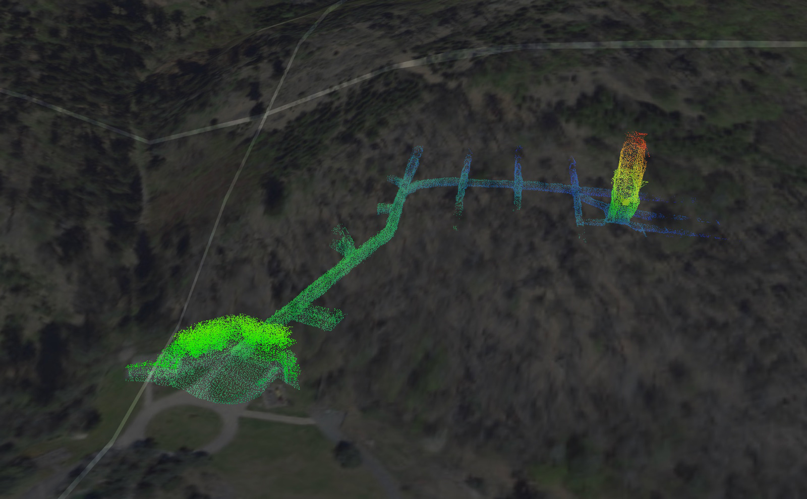
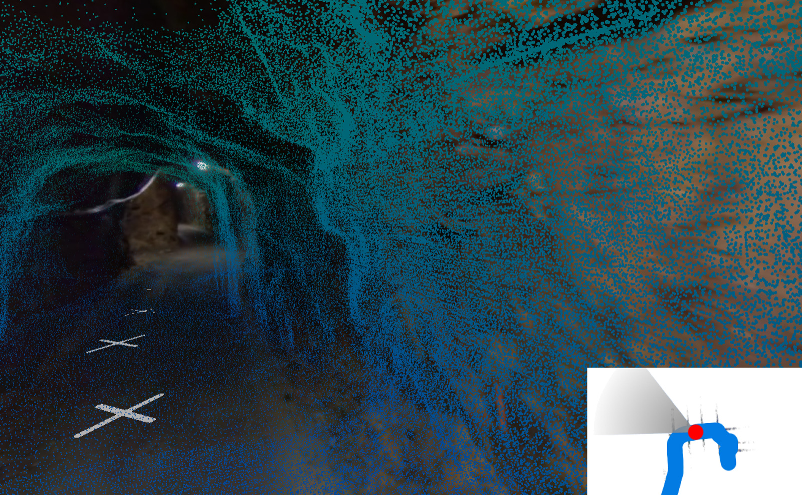
Intellmaps Digital Twin
for mining

Transferring the real image of the mining area and its background
– buildings, infrastructure, machinery, sensors – along with information on
these elements into an online Intellmaps digital twin at an affordable price.


Key features

  • Online solution – login from anywhere, even from a mobile phone or tablet
  • Simple operation and clear menu
  • Unlimited number of users – differentiation of user rights
  • Possibility of custom editing
  • Printing of map cut-outs
  • Data storage for mining and geological documentation and other map documents

Option for use

  • 3D mapping of the mining area (orthophoto, laserscan) and observation of changes over time
  • 3D measurement functions – lengths, areas, volumes, profiles
  • Import of your own maps or plans
  • Infrastructure lines (water, electricity) with their attributes
  • Inventory of elements (fire extinguishers, waste, …)
  • Land registry (display of own land plots, parcels)
  • 3D mapping of adjacent buildings with their infrastructure together with information in BIM (building information model)
  • Reporting outputs

Intellmaps, with its digital twin technology solution for scanning and digitizing buildings and other objects, has won a prestigious place in the EIT RawMaterials Accelerator, whose main objective is to ensure a sustainable supply of raw materials by supporting innovation, education and entrepreneurship in European industrial ecosystems.


Contact our experts

Want to learn more about our technologies, solutions and services? Contact us!